Our Impact
Driving environmental stewardship through community collaboration and practical innovation for lasting impact.

1. Torres Trail — Where It Began
Royal Palm Beach Pines Natural Area is a 773-acre area of Wetland, includes mesic flatwoods, wet flatwoods, hydric hammock, wet prairie, depression marsh, and dome swamp, with wetland ecosystems covering almost half the area . The natural area attracts many birds, including bald eagle, red-shouldered hawk, and Florida sandhill crane. Other animals sighted include bobcat, southern cricket frog, and eastern box turtle.
Our founder led a comprehensive trail marker assessment and renewal project along Torres Trail at Royal Palm Beach Pines Natural Area as his Eagle Scout service project. Bringing together volunteers from The Light Bridge and the broader community, the project upgraded 76 trail markers, improved trail navigation, and helped protect native plants and wildlife habitats by encouraging visitors to stay on designated trails. The project also delivered GIS documentation to support long-term conservation management.
30
76
320+
Volunteers
Markers Restored
volunteer hours


2. Technology for Conservation
At The Light Bridge, we develop practical digital tools that connect technology with environmental stewardship. Our two applications support trail navigation, geographic documentation, asset assessment, and long-term conservation management.
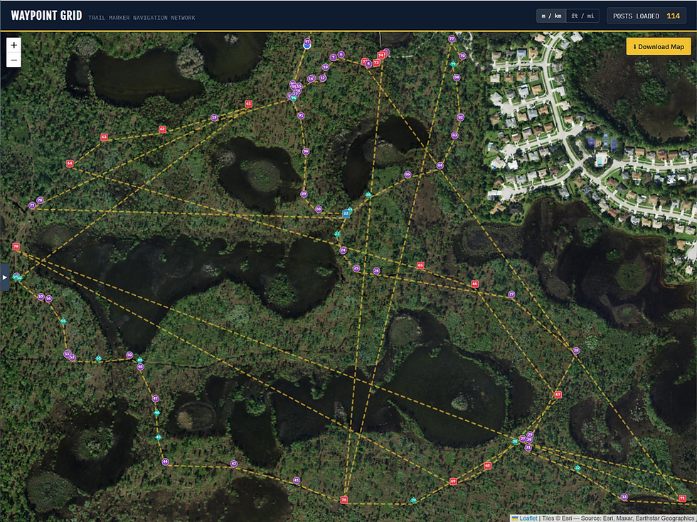
Trail Mapping & Navigation Application
This application generates GIS data, calculates trail distances, gap analysis, and visualizes routes to support trail mapping, navigation, and geographic documentation.

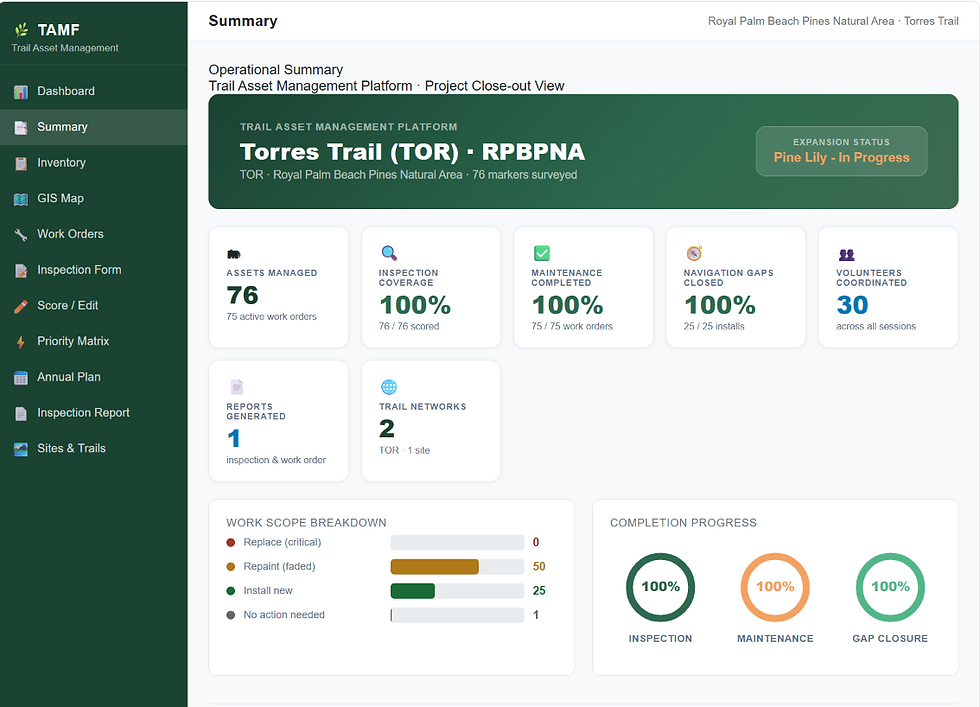
Trail Asset Management Platform (TAMP)
TAMP is a GIS-supported trail asset management platform that connects geographic maps with an updateable asset inventory. It enables volunteers to document marker conditions, record before-and-after photographs, and track maintenance needs to support long-term trail stewardship.

3. Pine Lily Trail — Continuing the Mission
Building on the experience gained at Torres Trail, The Light Bridge is extending its conservation efforts to Pine Lily Trail. This ongoing initiative focuses on assessing trail markers, documenting asset conditions, and coordinating volunteer-led stewardship. Through systematic fieldwork and GIS-supported documentation, the project has reached a combined milestone of 120+ mapped assets across Torres Trail and Pine Lily Trail, supporting long-term trail monitoring, maintenance planning, and environmental stewardship.




4. STEM Education & Community Engagement
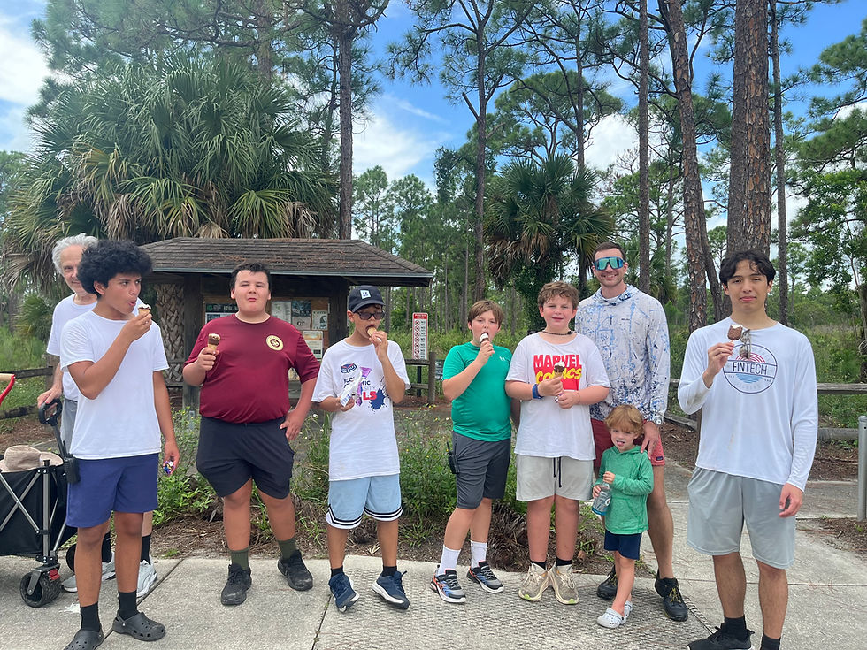
We bridge the gap between scientific theory and real-world application through student workshops, educational outreach programs, and hands-on volunteer activities that empower future conservationists and scientist.


5. Continuing Our Impact
Join The Light Bridge in our mission to foster sustainable ecosystems and empower communities through technology. Together, we can create a lasting environmental legacy.